

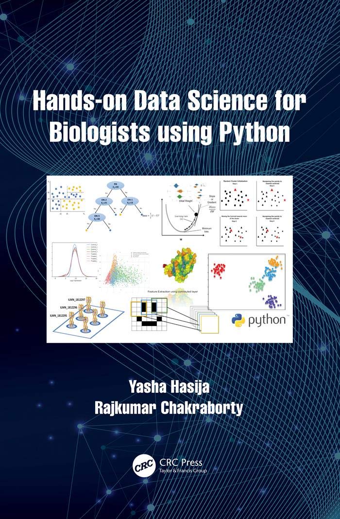
Geoprocessing with Python
Product details
| Management number | 231708656 | Release Date | 2026/06/18 | List Price | $17.16 | Model Number | 231708656 | ||
|---|---|---|---|---|---|---|---|---|---|
| Category | |||||||||
SummaryGeoprocessing with Python teaches you how to use the Python programming language, along with free and open source tools, to read, write, and process geospatial data.Purchase of the print book includes a free eBook in PDF, Kindle, and ePub formats from Manning Publications.About the TechnologyThis book is about the science of reading, analyzing, and presenting geospatial data programmatically, using Python. Thanks to dozens of open source Python libraries and tools, you can take on professional geoprocessing tasks without investing in expensive proprietary packages like ArcGIS and MapInfo. The book shows you how.About the BookGeoprocessing with Python teaches you how to access available datasets to make maps or perform your own analyses using free tools like the GDAL, NumPy, and matplotlib Python modules. Through lots of hands-on examples, you’ll master core practices like handling multiple vector file formats, editing geometries, applying spatial and attribute filters, working with projections, and performing basic analyses on vector data. The book also covers how to manipulate, resample, and analyze raster data, such as aerial photographs and digital elevation models.What's InsideGeoprocessing from the ground upRead, write, process, and analyze raster dataVisualize data with matplotlibWrite custom geoprocessing toolsThree additional appendixes available onlineAbout the ReaderTo read this book all you need is a basic knowledge of Python or a similar programming language.About the AuthorChris Garrard works as a developer for Utah State University and teaches a graduate course on Python programming for GIS.Table of ContentsIntroductionPython basicsReading and writing vector dataWorking with different vector file formatsFiltering data with OGRManipulating geometries with OGRVector analysis with OGRUsing spatial reference systemsReading and writing raster dataWorking with raster dataMap algebra with NumPy and SciPyMap classificationVisualizing dataAppendixesA - InstallationB - ReferencesC - OGR - online onlyD - OSR - online onlyE - GDAL - online only Read more
| ASIN | B0978226XH |
|---|---|
| XRay | Not Enabled |
| ISBN13 | 978-1638353140 |
| Edition | 1st |
| Language | English |
| File size | 18.4 MB |
| Page Flip | Enabled |
| Publisher | Manning |
| Word Wise | Not Enabled |
| Print length | 682 pages |
| Accessibility | Learn more |
| Screen Reader | Supported |
| Publication date | May 5, 2016 |
| Enhanced typesetting | Enabled |
Bestseller ranking
Python


Customers who viewed this product also viewed
Sway Parts


Correction of product information
If you notice any omissions or errors in the product information on this page, please use the correction request form below.
Correction Request Form